
Birdi
Turn aerial data into maps, measurements and reports
 View in the Claude registry
- Brand
- Unknown
- Category
- Pending
- Primary Subcategory
- Pending
Integration details
Description
Birdi is a geospatial AI workspace for teams working with drone, aerial and satellite data. Built so anyone can get answers from site data, not just GIS specialists. The Birdi MCP server lets Claude run site workflows end to end: upload imagery in batches, trigger processing to produce orthomosaics, point clouds and terrain models, create and organise maps and projects, run AI detections to find and count assets, take measurements and volumes, manage annotations, share maps with your team, and generate reports from what it finds.
- Integration type
- Connector
- Verification status
 Community connector
- Platform
- Claude
- Category
- Pending
- Primary Subcategory
- Pending
- Secondary Subcategories
- None listed
- Brand
- Unknown
- Access
- Account required
- First tracked
- 2026-10-13
- Tool count
- 35
- Geography
- US
The broad Category that contains the Primary Subcategory.
The Primary Subcategory used for this profile’s headline score.
Other Subcategories where the Integration is listed.
 Agent DiscoverabilityClaude Discoverability Score
Claude Connector discovery is coming soon
Community Connectors only appear in Claude’s registry.Once verified, organic discovery begins and we can calculate your score.Read more about Community Connector verification.
No spam. Unsubscribe any time.
No spam. Unsubscribe any time.
What discovery looks like
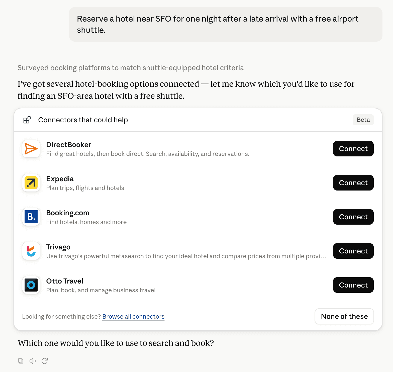
Claude can surface verified Connectors when they match a user’s Prompt.
How Claude Connector discovery works
Your Connector will compete to appear for users’ Prompts once Claude verifies it
Competitive lineup
35 tools agents can invoke

Birdi Claude Connector FAQ
How the directory, categories and Discoverability Score work.
Read the methodologyHow do I improve Birdi's Claude Connector discoverability?
The levers are the listing surface agents actually read: names, descriptions, keywords, tool metadata, and registry health. Which lever matters depends on where discovery breaks, which is what continuous measurement shows.
Where is this profile measured?
This profile uses the geography attached to the latest public registry snapshot: US. Locale tags are intentionally omitted.