
Clarity Atlas
Atlanta regional data: 1,000 Census and HUD indicators for every county, city, ZIP, tract and district, with sources, margins of error and map links.
 View in the Claude registry
- Brand
- Clarity Mapped
- Category
- Data & Analytics
- Primary Subcategory
- Open & Public Statistics Portals
Integration details
Description
Clarity Atlas is a public data atlas for the 11-county Atlanta region: 1,000 indicators from the U.S. Census Bureau's American Community Survey and from HUD, for every county, city, ZIP code, census tract, congressional district and state legislative district, plus Livable Centers Initiative areas, Opportunity Zones, transit routes and trails from the Atlanta Regional Commission's Open Data Hub. **Ask for a number and get the source with it.** Every value comes back with its margin of error, vintage and source table. The assistant chooses what to ask for; the numbers are read from the indicator store, never generated. **Search 1,000 indicators in plain language.** Rent, income, poverty, commute, housing tenure, cost burden, education, health insurance, vehicles, broadband, age, race and more, with the Census labels kept as published, plus HUD Fair Market Rents and income limits. **Compare places.** Rank every county, city, ZIP or tract on one indicator, profile one area across many indicators, or compare a list of areas side by side. **Open the map.** Any answer can carry a link that opens the Clarity Atlas explorer with that indicator, level and selection: a choropleth with its legend, a table, a ranked chart, a scatterplot and histogram filters, and exports to CSV, Excel, GeoJSON and File Geodatabase. Read-only, no account, public data. Built in Atlanta by Clarity Mapped. Try asking: - "Which counties in the Atlanta region have the highest median rent, and how do they compare with HUD's Fair Market Rent?" - "Show the share of renters paying 35% or more of income by tract in DeKalb County." - "Compare median household income in Decatur, Marietta and Lawrenceville." - "Give me a map of households with no vehicle by ZIP code."
- Integration type
- Connector
- Verification status
 Community connector
- Platform
- Claude
- Primary Subcategory
- Open & Public Statistics Portals
- Secondary Subcategories
- None listed
- Brand
- Clarity Mapped
- Access
- No account required
- First tracked
- 2026-10-22
- Tool count
- 9
- Geography
- US
The Primary Subcategory used for this profile’s headline score.
Other Subcategories where the Integration is listed.
 Agent DiscoverabilityClaude Discoverability Score
Claude Connector discovery is coming soon
Community Connectors only appear in Claude’s registry.Once verified, organic discovery begins and we can calculate your score.Read more about Community Connector verification.
No spam. Unsubscribe any time.
What discovery looks like
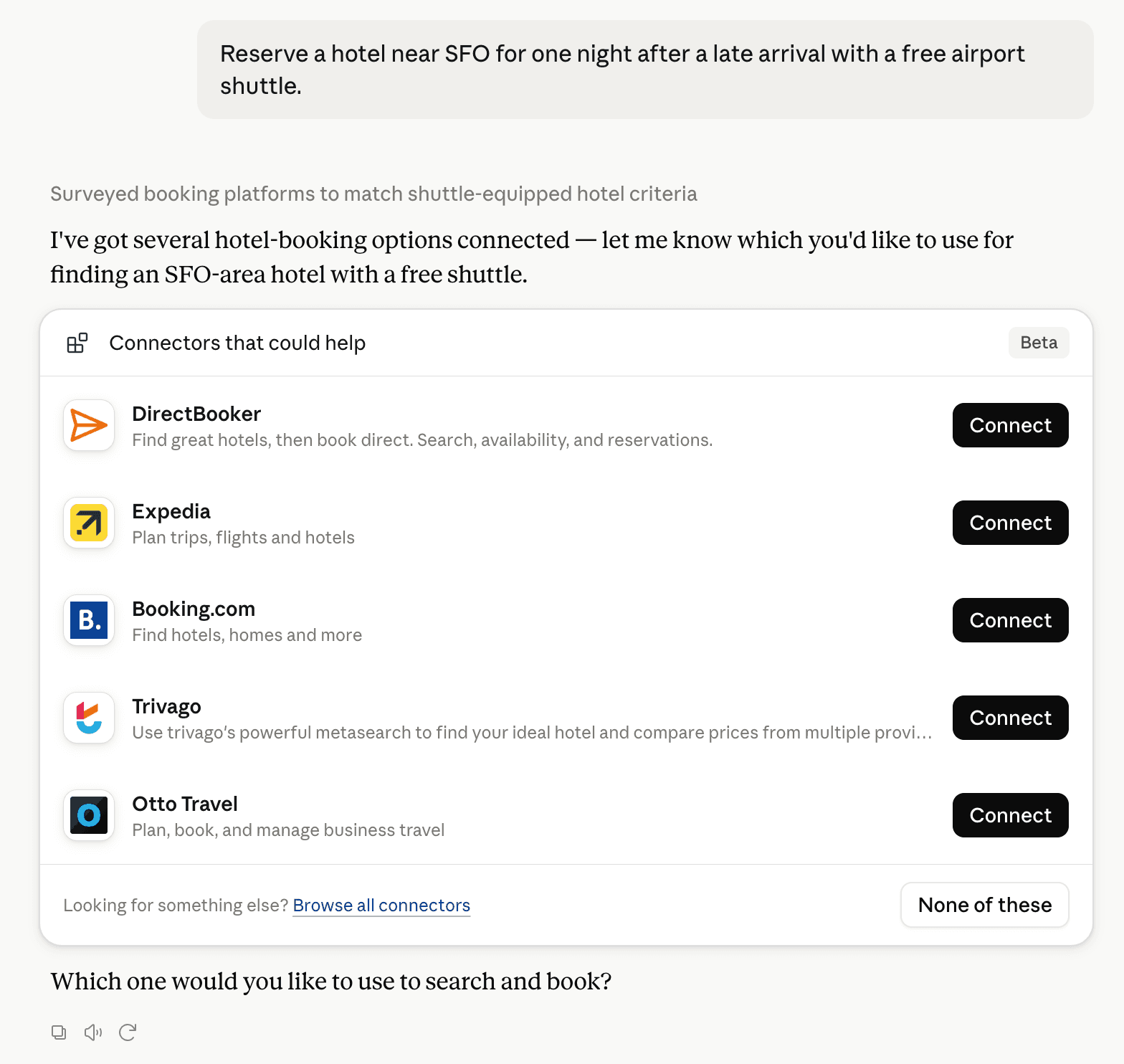
Claude can surface verified Connectors when they match a user’s Prompt.
How Claude Connector discovery works
Your Connector will compete to appear for users’ Prompts once Claude verifies it
Competing in Claude Open & Public Statistics Portals
View Category
9 tools agents can invoke

Clarity Atlas Claude Connector FAQ
How the directory, categories and Discoverability Score work.
Read the methodologyHow do I improve Clarity Atlas's Claude Connector discoverability?
The levers are the listing surface agents actually read: names, descriptions, keywords, tool metadata, and registry health. Which lever matters depends on where discovery breaks, which is what continuous measurement shows.
What are Clarity Atlas alternatives on Claude?
As of 2026-10-23, Clarity Atlas competes with viaNexus vAST, Oxford Economics, AnythingMCP, Maryland Community Compass, Anthropic Economic Index, Community Pulse, dataseries.org, datasets.ai and 18 more in Claude Open & Public Statistics Portals, ranked by public Discoverability Score.
Where is this profile measured?
This profile uses the geography attached to the latest public registry snapshot: US. Locale tags are intentionally omitted.