
OpenPostcodes
Every live UK postcode from the ONS Postcode Directory, with its location, the areas it falls in, nearest services and utilities, in a free, read-only MCP
 View in the Claude registry
- Brand
- OpenCommons
- Category
- Data & Analytics
- Primary Subcategory
- Geospatial & Spatial Analytics Data
Integration details
Description
OpenPostcodes is a free, read-only MCP server for every live UK postcode, plus the Channel Islands and the Isle of Man, from the ONS Postcode Directory (Open Government Licence). It needs no API key or sign-in. Connect at https://openpostcodes.uk/mcp (Streamable HTTP). For any postcode, in any spelling, it returns the centroid and grid references, the geographies it falls in (local authority, ward, constituency, county, parish, census, NHS and police areas), its deprivation rank and rural or urban class, the nearest station, GP, hospital, school, pharmacy and other services with distances, its electricity, water and sewerage companies, broadband coverage, bordering postcodes and an approximate boundary. Tools: get_postcode, lookup_postcodes (up to 100 at once), compare_postcodes (distance, bearing, shared geographies), browsing by area, district and sector, get_dataset_status, the standard search and fetch pair, and send_feedback. Four prompts cover postcode reports, area overviews, comparisons and nearest services. Every result carries its licence, attribution, a link to cite and the caveats that apply: live postcodes only, centroids not buildings, deprivation ranks that do not compare across countries. It holds no addresses. Part of the OpenCommons family with OpenCharities, OpenCompanies and OpenProperties.
- Integration type
- Connector
- Verification status
 Community connector
- Platform
- Claude
- Primary Subcategory
- Geospatial & Spatial Analytics Data
- Secondary Subcategories
- None listed
- Brand
- OpenCommons
- Access
- No account required
- First tracked
- 2026-10-11
- Tool count
- 10
- Geography
- US
The Primary Subcategory used for this profile’s headline score.
Other Subcategories where the Integration is listed.
 Agent DiscoverabilityClaude Discoverability Score
Claude Connector discovery is coming soon
Community Connectors only appear in Claude’s registry.Once verified, organic discovery begins and we can calculate your score.Read more about Community Connector verification.
No spam. Unsubscribe any time.
No spam. Unsubscribe any time.
What discovery looks like
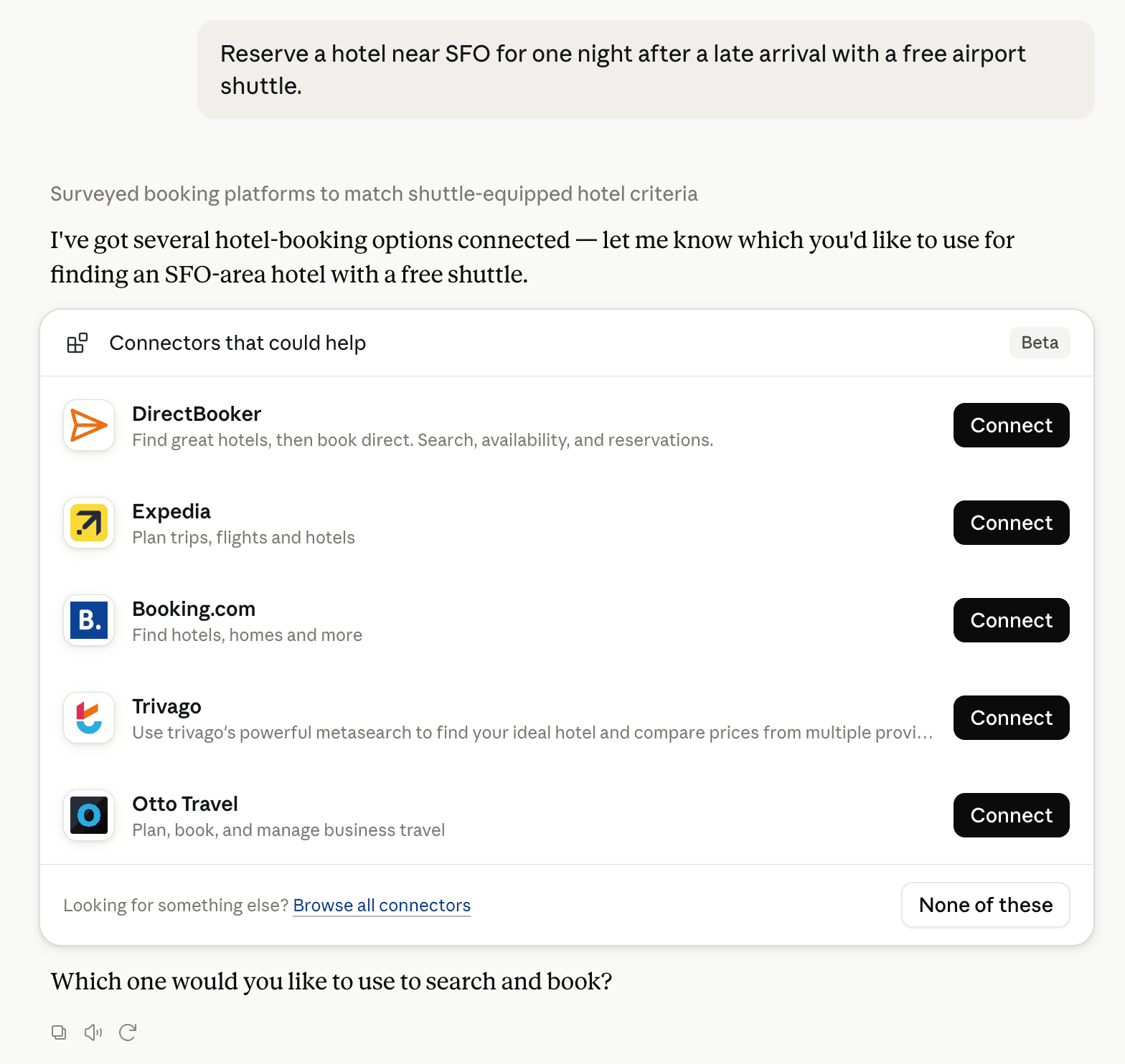
Claude can surface verified Connectors when they match a user’s Prompt.
How Claude Connector discovery works
Your Connector will compete to appear for users’ Prompts once Claude verifies it
Competing in Claude Geospatial & Spatial Analytics Data
View Category10 tools agents can invoke

OpenPostcodes Claude Connector FAQ
How the directory, categories and Discoverability Score work.
Read the methodologyHow do I improve OpenPostcodes's Claude Connector discoverability?
The levers are the listing surface agents actually read: names, descriptions, keywords, tool metadata, and registry health. Which lever matters depends on where discovery breaks, which is what continuous measurement shows.
What are OpenPostcodes alternatives on Claude?
As of 2026-10-12, OpenPostcodes competes with Felt Maps, TomTom Maps, GIS Cloud, Maryland Community Compass, Alloy Robotics, barocline, BigGeo AI, ExplorationMaps and 12 more in Claude Geospatial & Spatial Analytics Data, ranked by public Discoverability Score.
Where is this profile measured?
This profile uses the geography attached to the latest public registry snapshot: US. Locale tags are intentionally omitted.