
 View in the Claude registry
- Brand
- Bitcap
- Category
- Operations
- Primary Subcategory
- Geospatial & Spatial Analytics Data
Integration details
Description
Securely access and analyze PathFinder projects, wells, legs, surveys, logs, reports, and geosteering interpretations from Claude. Compare wells and models, evaluate drilling progress and reservoir intervals, generate summaries and reports, and make approved updates to supported PathFinder data. Access remains limited by each user’s organization and project permissions, with confirmation required for writes.
- Integration type
- Connector
- Verification status
 Community connector
- Platform
- Claude
- Primary Subcategory
- Geospatial & Spatial Analytics Data
- Secondary Subcategories
- None listed
- Brand
- Bitcap
- Access
- Account required
- First tracked
- 2026-10-11
- Tool count
- 44
- Geography
- US
The Primary Subcategory used for this profile’s headline score.
Other Subcategories where the Integration is listed.
 Agent DiscoverabilityClaude Discoverability Score
Claude Connector discovery is coming soon
Community Connectors only appear in Claude’s registry.Once verified, organic discovery begins and we can calculate your score.Read more about Community Connector verification.
No spam. Unsubscribe any time.
No spam. Unsubscribe any time.
What discovery looks like
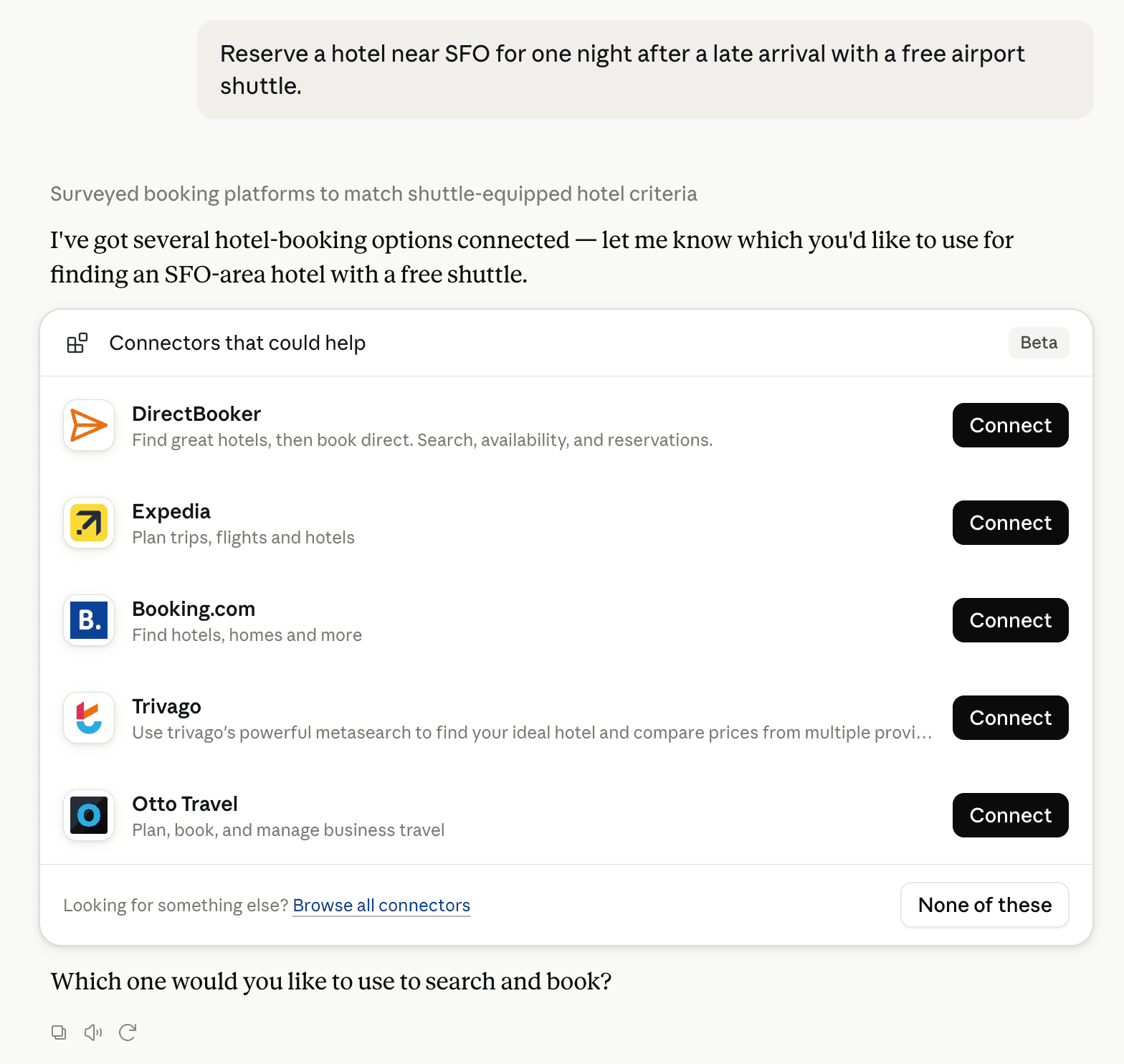
Claude can surface verified Connectors when they match a user’s Prompt.
How Claude Connector discovery works
Your Connector will compete to appear for users’ Prompts once Claude verifies it
Competing in Claude Geospatial & Spatial Analytics Data
View Category44 tools agents can invoke

PathFinder | Geosteering Workspace Claude Connector FAQ
How the directory, categories and Discoverability Score work.
Read the methodologyHow do I improve PathFinder | Geosteering Workspace's Claude Connector discoverability?
The levers are the listing surface agents actually read: names, descriptions, keywords, tool metadata, and registry health. Which lever matters depends on where discovery breaks, which is what continuous measurement shows.
What are PathFinder | Geosteering Workspace alternatives on Claude?
As of 2026-10-12, PathFinder | Geosteering Workspace competes with Felt Maps, TomTom Maps, GIS Cloud, Maryland Community Compass, Alloy Robotics, barocline, BigGeo AI, ExplorationMaps and 12 more in Claude Geospatial & Spatial Analytics Data, ranked by public Discoverability Score.
Where is this profile measured?
This profile uses the geography attached to the latest public registry snapshot: US. Locale tags are intentionally omitted.