TrustyData
Official French address, company & catchment data
- Category
- Data & Analytics
- Primary Subcategory
- Geospatial & Spatial Analytics Data
 View in the Claude registry
Integration details
Description
TrustyData connects Claude to authoritative French geographic and company data, sourced from official open referentials and kept up to date. Addresses — Verify an address against the official Base Adresse Nationale (BAN) and get a verdict plus the canonical address, already split into ready-to-write postal lines. Search addresses and communes by name, postal code or INSEE code, filter communes by department, region or population, and find addresses within a radius of any point. Companies — Look up French businesses and establishments in the SIRENE register (INSEE) by name, SIREN, SIRET, location or activity code, then open a full record: identity, activity, workforce, collective agreements, company officers (INPI), financials. Catchment areas — Describe a zone as a drive, walk or cycle time, or as a radius, and get what INSEE knows about the people living there: population, households, average standard of living, age profile, housing, socio-professional categories and estimated disposable income. Compare 2 to 10 zones in a single call and measure how much they overlap. Routing — Compute a road route, or a travel-time and distance matrix, across France (OpenStreetMap), by car, on foot or by bike. All eleven tools are read-only: nothing is created, modified or deleted. Results are authoritative — an empty result means no match, never a gap to fill in. The API answers one address per call and is designed to be driven from a script or an ETL pipeline for larger workloads. Requires a TrustyData account. The free Discovery plan covers address and company lookups; proximity search and catchment statistics require Growth; routing and INSEE grid enrichment require Business. Sources: BAN and IGN (addresses, IRIS contours), INSEE (communes, Filosofi, census, SIRENE), INPI (company officers), OpenStreetMap under ODbL (routing).
- Integration type
- Connector
- Verification status
 Community connector
- Platform
- Claude
- Primary Subcategory
- Geospatial & Spatial Analytics Data
- Secondary Subcategories
- None listed
- Brand
- TrustyData
- Access
- Account required
- First tracked
- 2026-09-15
- Tool count
- 11
- Geography
- US
The Primary Subcategory used for this profile’s headline score.
Other Subcategories where the Integration is listed.
Claude Discoverability Score
Claude Connector discovery is coming soon
Community Connectors only appear in Claude’s registry.Once verified, organic discovery begins and we can calculate your score.Read more about Community Connector verification.
No spam. Unsubscribe any time.
No spam. Unsubscribe any time.
What discovery looks like
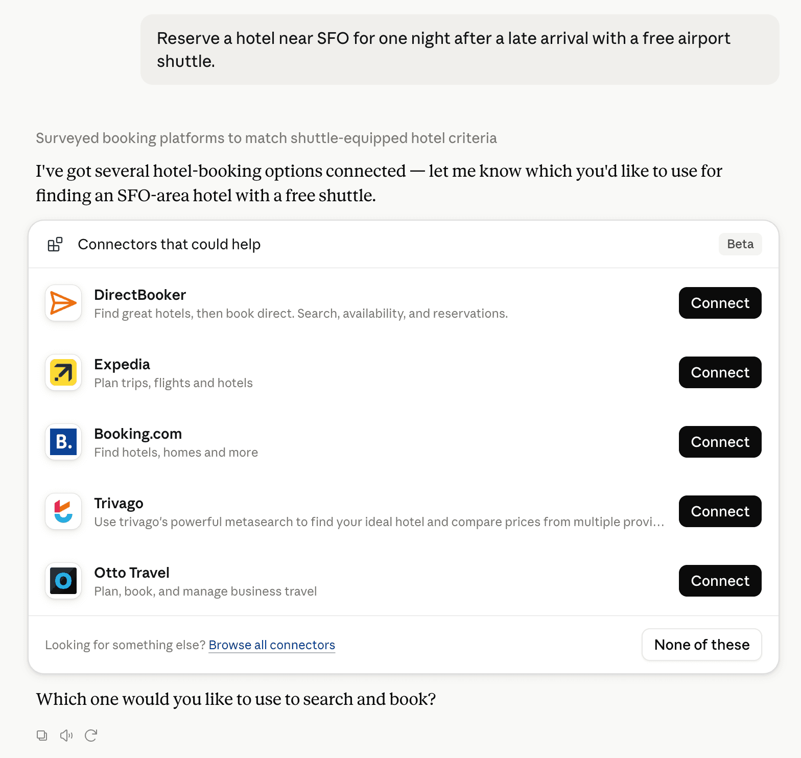
Claude can surface verified Connectors when they match a user’s Prompt.
How Claude Connector discovery works
Your Connector will compete to appear for users’ Prompts once Claude verifies it
Competing in Claude Geospatial & Spatial Analytics Data
View Category11 tools agents can invoke
How do I improve a Community connector's discoverability?
The levers are the listing surface agents actually read: names, descriptions, keywords, tool metadata, and registry health. Which lever matters depends on where discovery breaks, which is what continuous measurement shows.
What are TrustyData alternatives on Claude?
As of 2026-09-16, TrustyData competes with Felt Maps, TomTom Maps, GIS Cloud, Maryland Community Compass, Alloy Robotics, BigGeo AI, Prefix WhoIs, SkyWatch, Swath API, Wherobots Spatial AI Assistant in Claude Geospatial & Spatial Analytics Data, ranked by public Discoverability Score.
Where is this profile measured?
This profile uses the geography attached to the latest public registry snapshot: US. Locale tags are intentionally omitted.