
GovBot Public Lands & Wildfire Perimeters
Public land records: the agency managing the land at a point (BLM), protected areas from USGS PAD-US, and current wildland fire perimeters from NIFC, with dates. Read-only.
 View in the Claude registry
- Brand
- GovBot.ai
- Category
- Data & Analytics
- Primary Subcategory
- Geospatial & Spatial Analytics Data
Integration details
Description
GovBot Public Lands & Wildfire Perimeters is a remote, read-only MCP server operated by Ideation Lab, Corp. It requires no account. It reports who manages a piece of land, which protected areas cover it, and which wildland fires currently have mapped perimeters, read live from the agencies' own map services, each result with its publishing agency, layer, data date and retrieval time. What it returns: - The surface managing agency at a latitude and longitude from the Bureau of Land Management national Surface Management Agency map: Bureau of Land Management, U.S. Forest Service, National Park Service, U.S. Fish and Wildlife Service, Department of Defense, Bureau of Indian Affairs, state, local and other lands. - Protected areas at or near a point, or by name and state, from the USGS Protected Areas Database of the United States (PAD-US 4.1): unit name, category, manager, owner, designation type, GAP status, IUCN category, public access and acres. - Current wildland fire perimeters from the National Interagency Fire Center (WFIGS) in a state or within a radius of a point: incident name and type, perimeter acres, percent contained, discovery date, perimeter date and the date the perimeter was last confirmed current; details of one fire by IRWIN or unique fire identifier. Typical use: identify the managing agency and protected status of a site, or list the fires currently mapped in a state with their perimeter dates. How results are qualified: boundaries are agency map data, not legal surveys, title or ownership records. Wildfire perimeters are provisional and can be hours or days old; the service is not an evacuation, warning or emergency information source, and evacuation orders come from local officials. Not affiliated with the BLM, the USGS, NIFC or any government agency. The server writes nothing.
- Integration type
- Connector
- Verification status
 Community connector
- Platform
- Claude
- Primary Subcategory
- Geospatial & Spatial Analytics Data
- Secondary Subcategories
- None listed
- Brand
- GovBot.ai
- Access
- No account required
- First tracked
- 2026-10-25
- Tool count
- 5
- Geography
- US
The Primary Subcategory used for this profile’s headline score.
Other Subcategories where the Integration is listed.
 Agent DiscoverabilityClaude Discoverability Score
Claude Connector discovery is coming soon
Community Connectors only appear in Claude’s registry.Once verified, organic discovery begins and we can calculate your score.Read more about Community Connector verification.
No spam. Unsubscribe any time.
What discovery looks like
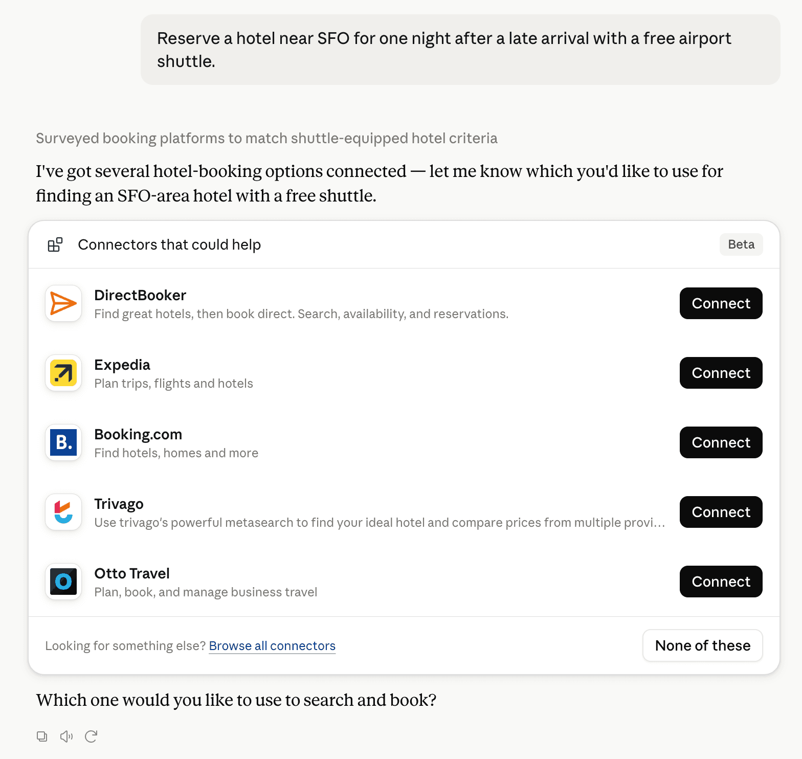
Claude can surface verified Connectors when they match a user’s Prompt.
How Claude Connector discovery works
Your Connector will compete to appear for users’ Prompts once Claude verifies it
Competing in Claude Geospatial & Spatial Analytics Data
View Category5 tools agents can invoke

GovBot Public Lands & Wildfire Perimeters Claude Connector FAQ
How the directory, categories and Discoverability Score work.
Read the methodologyHow do I improve GovBot Public Lands & Wildfire Perimeters's Claude Connector discoverability?
The levers are the listing surface agents actually read: names, descriptions, keywords, tool metadata, and registry health. Which lever matters depends on where discovery breaks, which is what continuous measurement shows.
What are GovBot Public Lands & Wildfire Perimeters alternatives on Claude?
As of 2026-10-27, GovBot Public Lands & Wildfire Perimeters competes with Alloy Robotics, barocline, BigGeo AI, Birdi, CDXGeoStream, ExplorationMaps, Felt Maps, FieldScore and 26 more in Claude Geospatial & Spatial Analytics Data, ranked by public Discoverability Score.
Where is this profile measured?
This profile uses the geography attached to the latest public registry snapshot: US. Locale tags are intentionally omitted.