
GovBot Tides, Elevation & Watersheds
NOAA tide stations, observed water levels, tide predictions and datums; USGS 3DEP ground elevation and Watershed Boundary Dataset hydrologic units at a point. Read-only.
 View in the Claude registry
- Brand
- GovBot.ai
- Category
- Data & Analytics
- Primary Subcategory
- Geospatial & Spatial Analytics Data
Integration details
Description
GovBot Tides, Elevation & Watersheds is a remote, read-only MCP server operated by Ideation Lab, Corp. It requires no account. It reads the agencies' own services live and states the publisher, endpoint and retrieval time with every result. What it returns: - NOAA CO-OPS tide and water level stations near a latitude and longitude, nearest first, with whether each reports observations or publishes predictions. - Observed water levels for a station and date range (six-minute, verified hourly, or verified high and low waters), with the datum, units, time zone and quality status of each value. - Astronomical tide predictions for a station and date range (high and low, hourly or six-minute). - Tidal and geodetic datums at a station (MLLW, MHHW, MSL, NAVD88 and others), the tidal datum epoch and recorded extremes. - Ground elevation at a point from the USGS 3D Elevation Program, with the source resolution and acquisition date. - The USGS hydrologic units (HUC8, HUC10, HUC12, and HUC2 to HUC6 on request) containing a point. Typical use: read the tides and datums at the station nearest a waterfront site, compare a terrain elevation with a station's tidal datums, or identify the watershed of a location. How results are qualified: water levels are observations or astronomical predictions at a station, not warnings or forecasts; current hazards are the National Weather Service's to announce. Elevations are terrain-model values, not surveyed elevations or determinations about any property. Watershed boundaries are not site-specific determinations. Not affiliated with NOAA, the U.S. Geological Survey or any government agency. The server writes nothing.
- Integration type
- Connector
- Verification status
 Community connector
- Platform
- Claude
- Primary Subcategory
- Geospatial & Spatial Analytics Data
- Secondary Subcategories
- None listed
- Brand
- GovBot.ai
- Access
- No account required
- First tracked
- 2026-10-25
- Tool count
- 6
- Geography
- US
The Primary Subcategory used for this profile’s headline score.
Other Subcategories where the Integration is listed.
 Agent DiscoverabilityClaude Discoverability Score
Claude Connector discovery is coming soon
Community Connectors only appear in Claude’s registry.Once verified, organic discovery begins and we can calculate your score.Read more about Community Connector verification.
No spam. Unsubscribe any time.
What discovery looks like
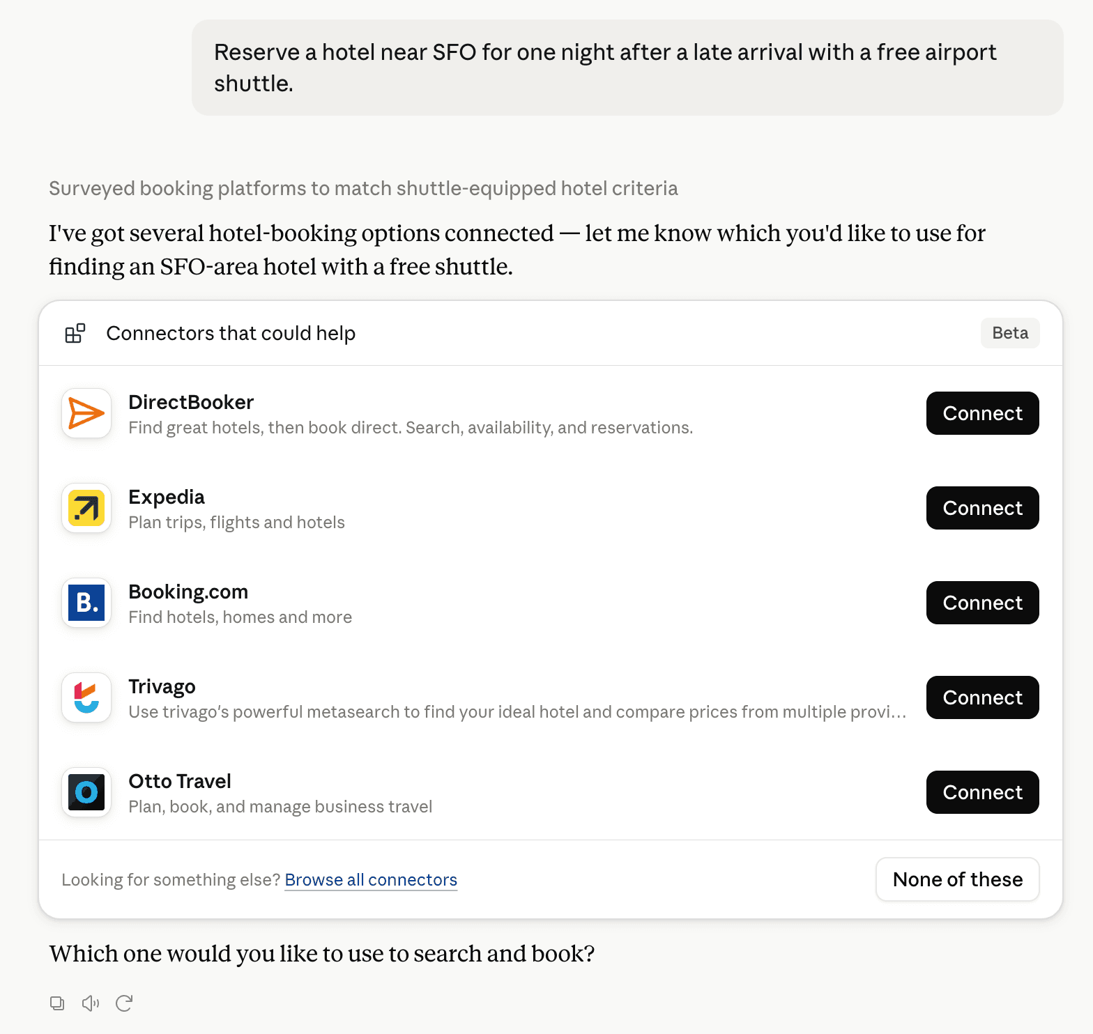
Claude can surface verified Connectors when they match a user’s Prompt.
How Claude Connector discovery works
Your Connector will compete to appear for users’ Prompts once Claude verifies it
Competing in Claude Geospatial & Spatial Analytics Data
View Category6 tools agents can invoke

GovBot Tides, Elevation & Watersheds Claude Connector FAQ
How the directory, categories and Discoverability Score work.
Read the methodologyHow do I improve GovBot Tides, Elevation & Watersheds's Claude Connector discoverability?
The levers are the listing surface agents actually read: names, descriptions, keywords, tool metadata, and registry health. Which lever matters depends on where discovery breaks, which is what continuous measurement shows.
What are GovBot Tides, Elevation & Watersheds alternatives on Claude?
As of 2026-10-27, GovBot Tides, Elevation & Watersheds competes with Alloy Robotics, barocline, BigGeo AI, Birdi, CDXGeoStream, ExplorationMaps, Felt Maps, FieldScore and 26 more in Claude Geospatial & Spatial Analytics Data, ranked by public Discoverability Score.
Where is this profile measured?
This profile uses the geography attached to the latest public registry snapshot: US. Locale tags are intentionally omitted.