
GovBot Soils
USDA NRCS soil survey records for a location: soil map units, horizon properties, interpretation ratings for common land uses, and farmland classification. Read-only.
 View in the Claude registry
- Brand
- GovBot.ai
- Category
- Data & Analytics
- Primary Subcategory
- Geospatial & Spatial Analytics Data
Integration details
Description
GovBot Soils is a remote, read-only MCP server operated by Ideation Lab, Corp. It requires no account. For a location in the United States it reports the soil survey records of the USDA Natural Resources Conservation Service (NRCS), read live from NRCS Soil Data Access (the Soil Survey Geographic Database, SSURGO). Each result states the soil survey area, its SSURGO version date, units and retrieval time. What it returns: - The soil map unit at a latitude and longitude: name, symbol, components with their share of the map unit, drainage class, hydrologic soil group, taxonomic class, landform and map unit properties such as depth to water table and available water storage. - The map units within a circle of up to 1 km or a small polygon, with acreage and percent of the area. - Component and horizon properties of a map unit: texture, sand, silt and clay, pH, saturated hydraulic conductivity, available water capacity, restrictive layers and their depth. - NRCS interpretation ratings for a map unit, such as septic tank absorption fields, dwellings with basements and local roads and streets, with the rating class and the limiting features NRCS records. - Farmland classification at a point or within a radius, and the soil survey area name, version and publication date. Typical use: a first look at the soils of a site before a field visit, a site plan or a soil evaluation. How results are qualified: mapped soil survey data at survey scale. A map unit can include soils that differ from its named components. Results are not an on-site soil investigation, a percolation test, a permit decision or an engineering design, and no flood determination is made. Not affiliated with USDA, NRCS or any government agency. The server writes nothing.
- Integration type
- Connector
- Verification status
 Community connector
- Platform
- Claude
- Primary Subcategory
- Geospatial & Spatial Analytics Data
- Secondary Subcategories
- None listed
- Brand
- GovBot.ai
- Access
- No account required
- First tracked
- 2026-10-26
- Tool count
- 6
- Geography
- US
The Primary Subcategory used for this profile’s headline score.
Other Subcategories where the Integration is listed.
 Agent DiscoverabilityClaude Discoverability Score
Claude Connector discovery is coming soon
Community Connectors only appear in Claude’s registry.Once verified, organic discovery begins and we can calculate your score.Read more about Community Connector verification.
No spam. Unsubscribe any time.
What discovery looks like
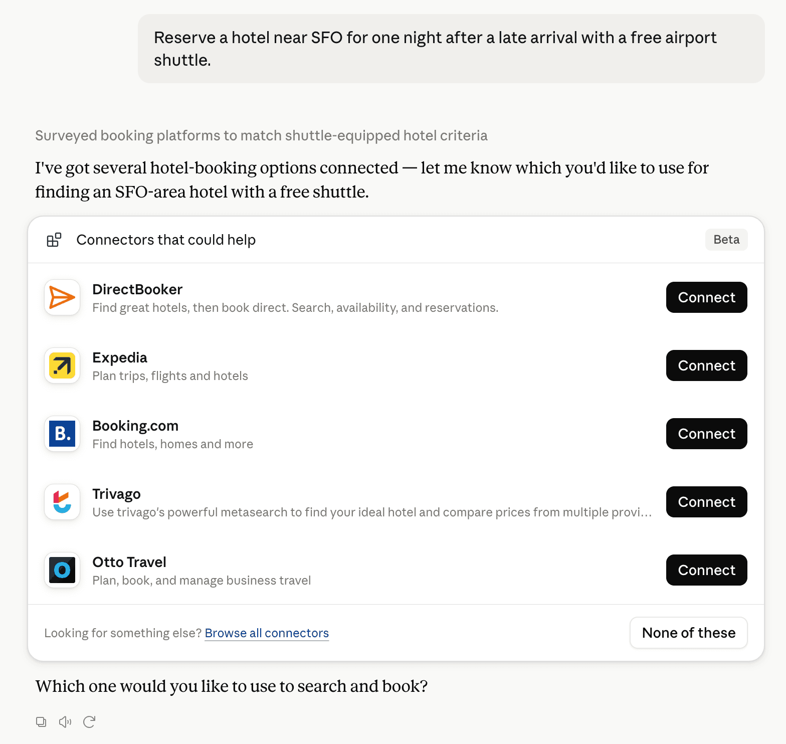
Claude can surface verified Connectors when they match a user’s Prompt.
How Claude Connector discovery works
Your Connector will compete to appear for users’ Prompts once Claude verifies it
Competing in Claude Geospatial & Spatial Analytics Data
View Category6 tools agents can invoke

GovBot Soils Claude Connector FAQ
How the directory, categories and Discoverability Score work.
Read the methodologyHow do I improve GovBot Soils's Claude Connector discoverability?
The levers are the listing surface agents actually read: names, descriptions, keywords, tool metadata, and registry health. Which lever matters depends on where discovery breaks, which is what continuous measurement shows.
What are GovBot Soils alternatives on Claude?
As of 2026-10-27, GovBot Soils competes with Alloy Robotics, barocline, BigGeo AI, Birdi, CDXGeoStream, ExplorationMaps, Felt Maps, FieldScore and 26 more in Claude Geospatial & Spatial Analytics Data, ranked by public Discoverability Score.
Where is this profile measured?
This profile uses the geography attached to the latest public registry snapshot: US. Locale tags are intentionally omitted.