
Instamaps
Geocode address lists with a confidence score on every row, measure road distances, plan driver routes, check US and UK flood, crime and zone data.
 View in the Claude registry
- Brand
- InstaMaps
- Category
- Data & Analytics
- Primary Subcategory
- Geospatial & Spatial Analytics Data
Integration details
Description
InstaMaps gives Claude location tools built for lists, not single lookups. Send a whole sheet of addresses and every row comes back in order, under your own id, with a confidence (high, medium or low), the reason, and the address parts: street, city, county, state, postcode, and in Great Britain the council and UPRN. Rows that can't be placed say why; nothing is dropped. From there: straight-line and road distances, drive-time areas with weekday traffic, multi-driver route plans with low-bridge and driving-hours warnings, official zones (census tract, HUBZone, Opportunity Zone, USDA, FEMA and England flood zones, conservation areas), crime and flood risk, flood and storm warnings in force now with the places inside them, what is near each place, and official records such as CQC and food hygiene ratings. ask_table answers a plain-English question about a whole table and shows how it read it. Lists can be passed by reference: share a Google Sheets™ file or a Drive CSV and Claude passes the link instead of typing the rows. Big lists run as background jobs. Every answer has a run id, so the next tool, a map or write_to_sheet can pick it up. write_to_sheet is the only tool that writes to your sheet: it adds dated columns beside your rows, or a new tab, and never overwrites a cell. Maps show beside the answer in the chat; render_map makes one to keep and share, with layers, colours, a legend, GeoJSON and KML. Measured: on 1,150 real US business addresses, 98.6% of the placements that could be checked were within 150 m of an independent reference. Flood zones agree with FEMA on 138 of 140 test points and with the Environment Agency on 70 of 70. Route plans for 60 stops and 3 drivers in six US cities needed 15.8% less driving than a careful plan by hand. Free: 5,000 tool calls a day per person; a call counts once however many rows it carries.
- Integration type
- Connector
- Verification status
 Community connector
- Platform
- Claude
- Primary Subcategory
- Geospatial & Spatial Analytics Data
- Secondary Subcategories
- None listed
- Brand
- InstaMaps
- Access
- Account required
- First tracked
- 2026-10-15
- Tool count
- 20
- Market
- US
The Primary Subcategory used for this profile’s headline score.
Other Subcategories where the Integration is listed.
 Agent DiscoverabilityClaude Discoverability Score
Claude Connector discovery is coming soon
Community Connectors only appear in Claude’s registry.Once verified, organic discovery begins and we can calculate your score.Read more about Community Connector verification.
No spam. Unsubscribe any time.
What discovery looks like
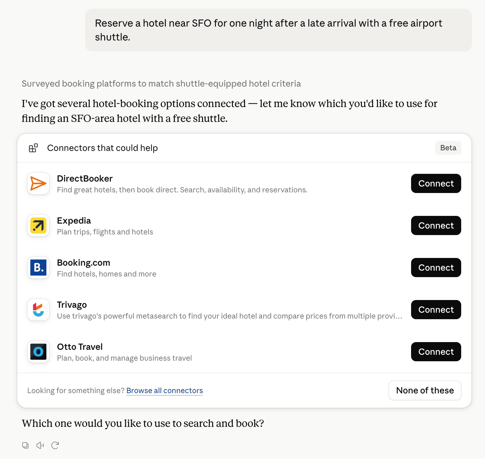
Claude can surface verified Connectors when they match a user’s Prompt.
How Claude Connector discovery works
Your Connector will compete to appear for users’ Prompts once Claude verifies it
Competing in Claude Geospatial & Spatial Analytics Data
View Category20 tools agents can invoke

Instamaps Claude Connector FAQ
How the directory, categories and Discoverability Score work.
Read the methodologyHow do I improve Instamaps's Claude Connector discoverability?
The levers are the listing surface agents actually read: names, descriptions, keywords, tool metadata, and registry health. Which lever matters depends on where discovery breaks, which is what continuous measurement shows.
What are Instamaps alternatives on Claude?
As of 2026-10-28, Instamaps competes with Alloy Robotics, barocline, BigGeo AI, Birdi, CDXGeoStream, ExplorationMaps, Felt Maps, FieldScore and 30 more in Claude Geospatial & Spatial Analytics Data, ranked by public Discoverability Score.
Where is this profile measured?
This profile uses the geography attached to the latest public registry snapshot: US. Locale tags are intentionally omitted.