
WaiMAP
Engineering and GIS tools for energy and infrastructure sites: solar yield, wind energy, grid connection, route corridors, site hazards and standards — computed by real engines.
 View in the Claude registry
- Brand
- WaiMAP
- Category
- Operations
- Primary Subcategory
- Geospatial & Spatial Analytics Data
Integration details
Description
WaiMAP gives Claude the engineering engines behind early-stage energy and infrastructure studies, so answers come with numbers that name their engine and data source instead of estimates. What Claude can do with WaiMAP: - Solar: hourly PV yield with pvlib on PVGIS typical-year weather (annual and monthly energy, specific yield, performance ratio, fixed or tracking). - Wind: farm energy with wake losses (PyWake) from turbine positions, a power curve and a wind rose. - Grid: connection load flow and IEC 60909 short circuit (pandapower). - Lines, cables and pipes: conductor selection, sag and clearance, cable sizing, pipe wall thickness (W-ENG). - Route corridors for overhead lines, pipelines, cables and fibre between up to 8 points: length, highest ground, crossings, tower count and design checks. - Site screening: ground and natural hazards, weather forecast, current disaster alerts (GDACS), Sentinel-1 radar scenes, biodiversity baseline (GBIF species records), data center energy and cooling. - Engineering standards lookup by country, and verification of WaiMAP reports and certificates. - With WaiMAP open in the browser and the AI agent link switched on, Claude can also run WaiMAP's engineering studies and its 1,065 open GIS tools (hydrology, terrain, LiDAR, raster, imagery) in the member's own WaiMAP tab, where every run is visible. Results are screening-level summaries with a link that opens the full study in WaiMAP; geometry, CAD/BIM files and full reports stay in WaiMAP. WaiMAP receives only tool names and arguments, never the conversation. Sign in with a WaiMAP account (a free account works; some tools need a paid plan). Not a substitute for detailed design.
- Integration type
- Connector
- Verification status
 Community connector
- Platform
- Claude
- Primary Subcategory
- Geospatial & Spatial Analytics Data
- Secondary Subcategories
- None listed
- Brand
- WaiMAP
- Access
- Account required
- First tracked
- 2026-10-27
- Tool count
- 19
- Market
- US
The Primary Subcategory used for this profile’s headline score.
Other Subcategories where the Integration is listed.
 Agent DiscoverabilityClaude Discoverability Score
Claude Connector discovery is coming soon
Community Connectors only appear in Claude’s registry.Once verified, organic discovery begins and we can calculate your score.Read more about Community Connector verification.
No spam. Unsubscribe any time.
What discovery looks like
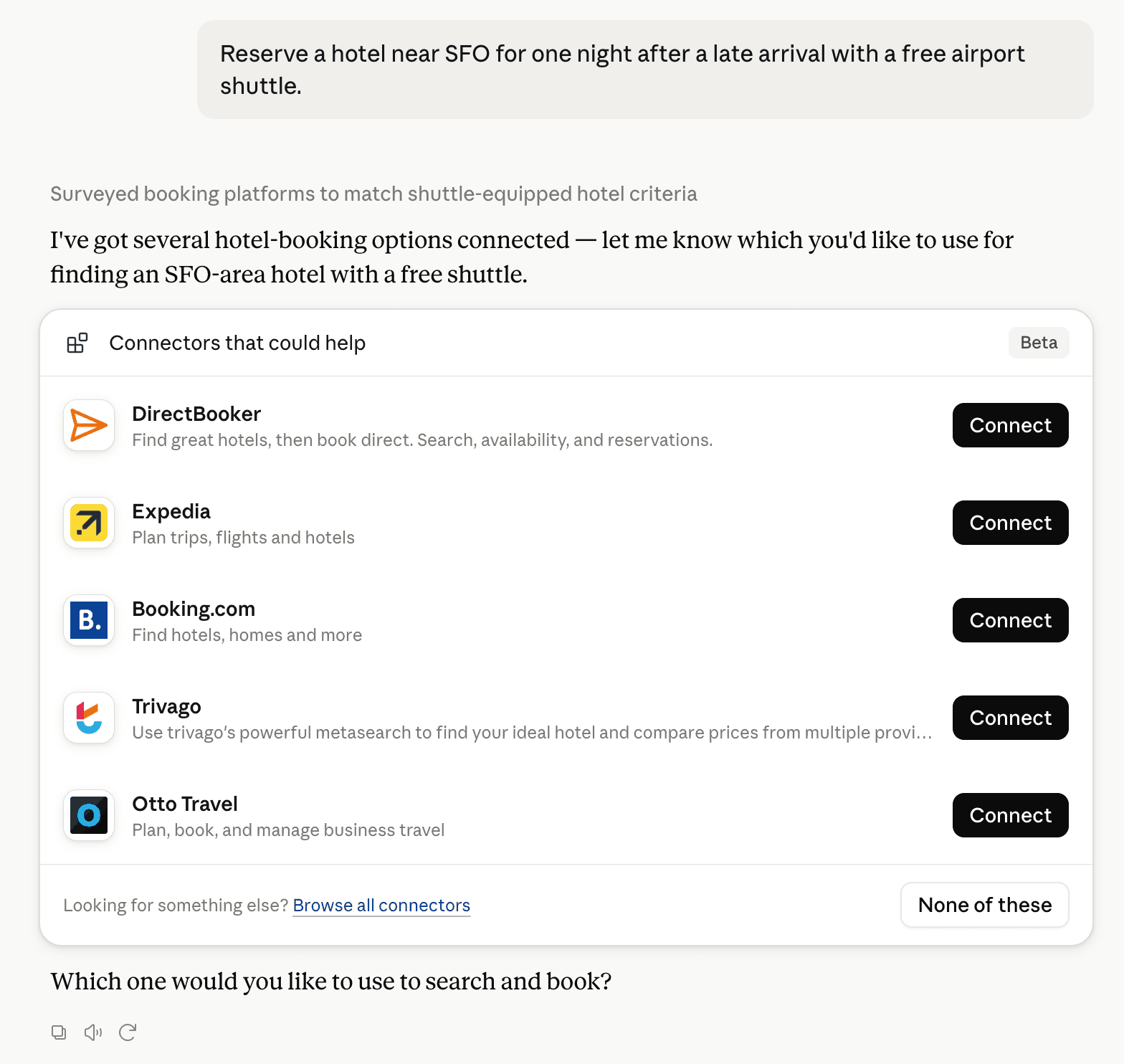
Claude can surface verified Connectors when they match a user’s Prompt.
How Claude Connector discovery works
Your Connector will compete to appear for users’ Prompts once Claude verifies it
Competing in Claude Geospatial & Spatial Analytics Data
View Category19 tools agents can invoke

WaiMAP Claude Connector FAQ
How the directory, categories and Discoverability Score work.
Read the methodologyHow do I improve WaiMAP's Claude Connector discoverability?
The levers are the listing surface agents actually read: names, descriptions, keywords, tool metadata, and registry health. Which lever matters depends on where discovery breaks, which is what continuous measurement shows.
What are WaiMAP alternatives on Claude?
As of 2026-10-28, WaiMAP competes with Alloy Robotics, barocline, BigGeo AI, Birdi, CDXGeoStream, ExplorationMaps, Felt Maps, FieldScore and 30 more in Claude Geospatial & Spatial Analytics Data, ranked by public Discoverability Score.
Where is this profile measured?
This profile uses the geography attached to the latest public registry snapshot: US. Locale tags are intentionally omitted.