
Biohotspot
Ocean data for any coast or sea, Australian marine park facts and Marxan reserve design, from a free marine planning app.
 View in the Claude registry
- Brand
- Biohotspot
- Category
- Data & Analytics
- Primary Subcategory
- Geospatial & Spatial Analytics Data
Integration details
Description
Biohotspot is a free web app for marine planning, built in Western Australia by The University of Western Australia's NTLP centre with Oceanwise Australia and AI4WA. This connector lets Claude use it as you, after you sign in to Biohotspot. What Claude can do with it: - Look at any place or area on the sea and list the map layers with data there, from more than 1,600 world layers on habitats, biodiversity, pressures, ecosystem services and protection. - Check an area against its protection targets: which habitats it holds, how much of each, what is already protected and how far each habitat is from its target. - Run Marxan protection options on the example project, Exmouth Gulf in Western Australia. - Find map layers and read their features. - Get the facts about an Australian marine park: CAPAD 2024 area, zones and IUCN categories, and the habitats, blue carbon and pressures measured inside it, each figure with its source and licence. - Search a research library of more than 5,200 papers and reports. - Read your Biohotspot projects and add data to the ones you can edit, from a public download link. Who it is for: marine planners, park managers, consultants, researchers and students. Limits: outside places with local planning data, area checks come from world maps and are marked as rough. Marxan runs cover the example project only. Marine park facts cover Australian parks of at least 10 km² with enough open data. Results are estimates from the data available, not legal or planning advice.
- Integration type
- Connector
- Verification status
 Community connector
- Platform
- Claude
- Primary Subcategory
- Geospatial & Spatial Analytics Data
- Secondary Subcategories
- None listed
- Brand
- Biohotspot
- Access
- Account required
- First tracked
- 2026-10-30
- Tool count
- 12
- Market
- US
The Primary Subcategory used for this profile’s headline score.
Other Subcategories where the Integration is listed.
 Agent DiscoverabilityClaude Discoverability Score
Claude Connector discovery is coming soon
Community Connectors only appear in Claude’s registry.Once verified, organic discovery begins and we can calculate your score.Read more about Community Connector verification.
No spam. Unsubscribe any time.
What discovery looks like
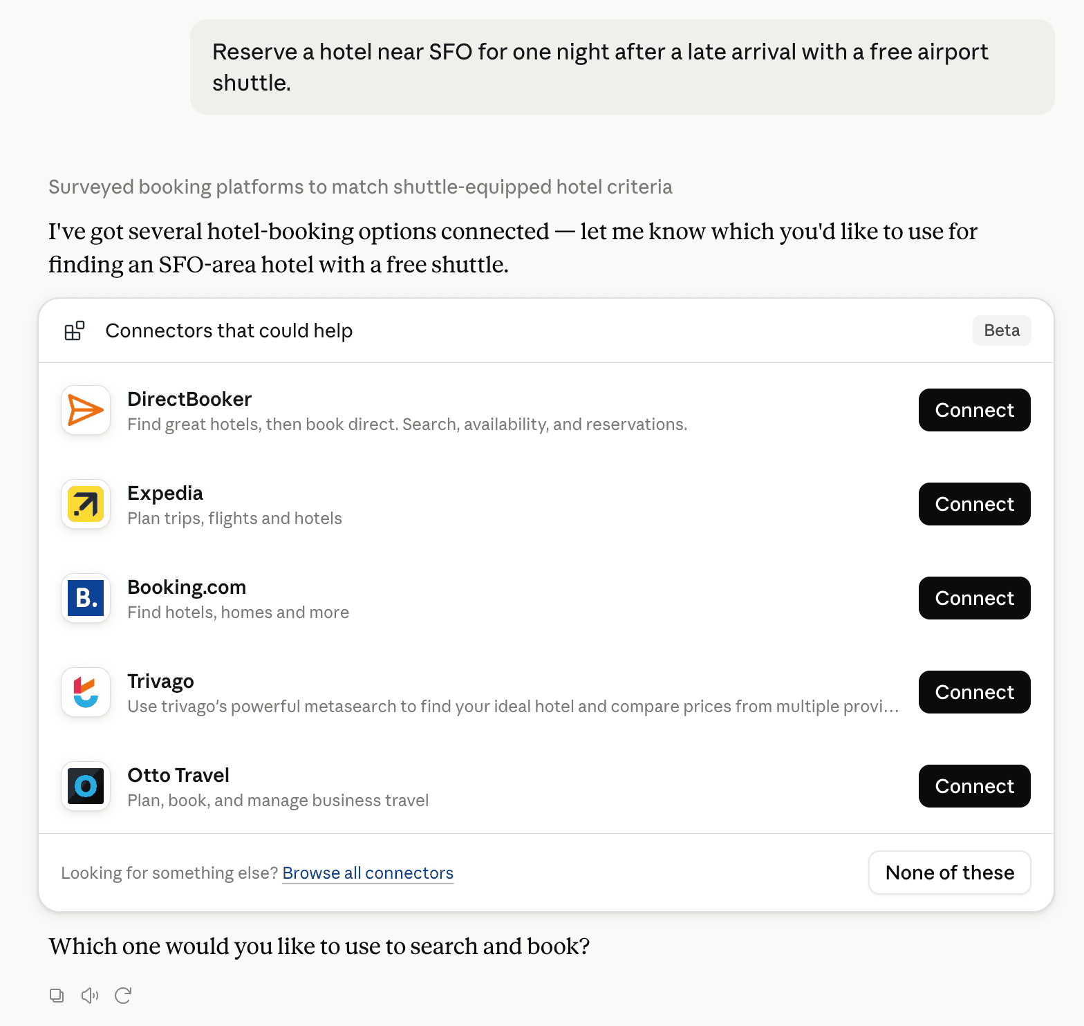
Claude can surface verified Connectors when they match a user’s Prompt.
How Claude Connector discovery works
Your Connector will compete to appear for users’ Prompts once Claude verifies it
Competing in Claude Geospatial & Spatial Analytics Data
View Category12 tools agents can invoke

Biohotspot Claude Connector FAQ
How the directory, categories and Discoverability Score work.
Read the methodologyHow do I improve Biohotspot's Claude Connector discoverability?
The levers are the listing surface agents actually read: names, descriptions, keywords, tool metadata, and registry health. Which lever matters depends on where discovery breaks, which is what continuous measurement shows.
What are Biohotspot alternatives on Claude?
As of 2026-10-31, Biohotspot competes with Alloy Robotics, barocline, BigGeo AI, Birdi, CDXGeoStream, ExplorationMaps, Felt Maps, FieldScore and 36 more in Claude Geospatial & Spatial Analytics Data, ranked by public Discoverability Score.
Where is this profile measured?
This profile uses the geography attached to the latest public registry snapshot: US. Locale tags are intentionally omitted.